Tag: Sentinel-1
-
Passive Microwave vs SAR sea ice: The Ultimate Guide to Real-Time Arctic Sea-Ice Mapping
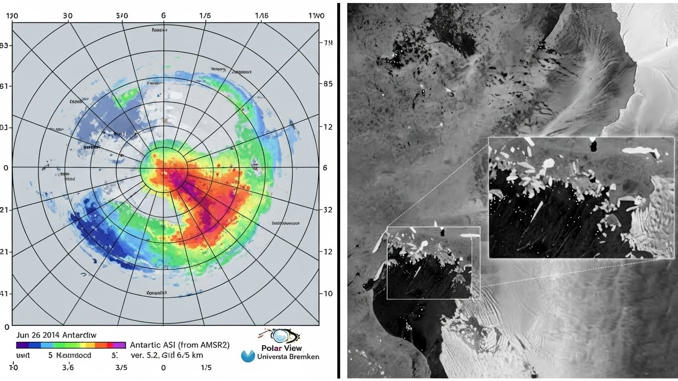
Passive Microwave vs SAR sea ice: Which sensor prevents maritime disasters? We analyze the trade-offs between AMSR2 coverage and Sentinel-1 precision for 2025 real-time mapping. Imagine navigating a liquid natural gas (LNG) tanker through the Northern Sea Route in total darkness. It is polar winter. Optical satellites are useless because there is no sunlight, and…
Written by
-
Mastering Sentinel-1 SAR Processing: A Step-by-Step Guide for Navigable Sea-Ice Maps (2025)
Master the Sentinel-1 SAR processing chain for accurate sea-ice maps. Learn the essential steps: Calibration, Lee Speckle Filtering, and Terrain Correction to fix raw data errors.” Critique: A bit dry. Refined (High CTR): “Is your SAR data too noisy? Master the Sentinel-1 SAR Processing chain. From Calibration to Lee Filtering—here is how to turn raw…
Written by
-
Satellite Tech 101: Part 2 – Seeing in the Dark with SAR (Sentinel-1 & ICEYE)
Optical cameras can’t see through clouds. In Part 2, we explore Synthetic Aperture Radar (SAR), the LEO technology that allows satellites like Sentinel-1 and ICEYE to image the Earth at night and through storms. In Part 1 of this series, we introduced the “Speed Demons” of the satellite world: Low Earth Orbit (LEO) satellites. We…
Written by