Tag: Passive Microwave
-
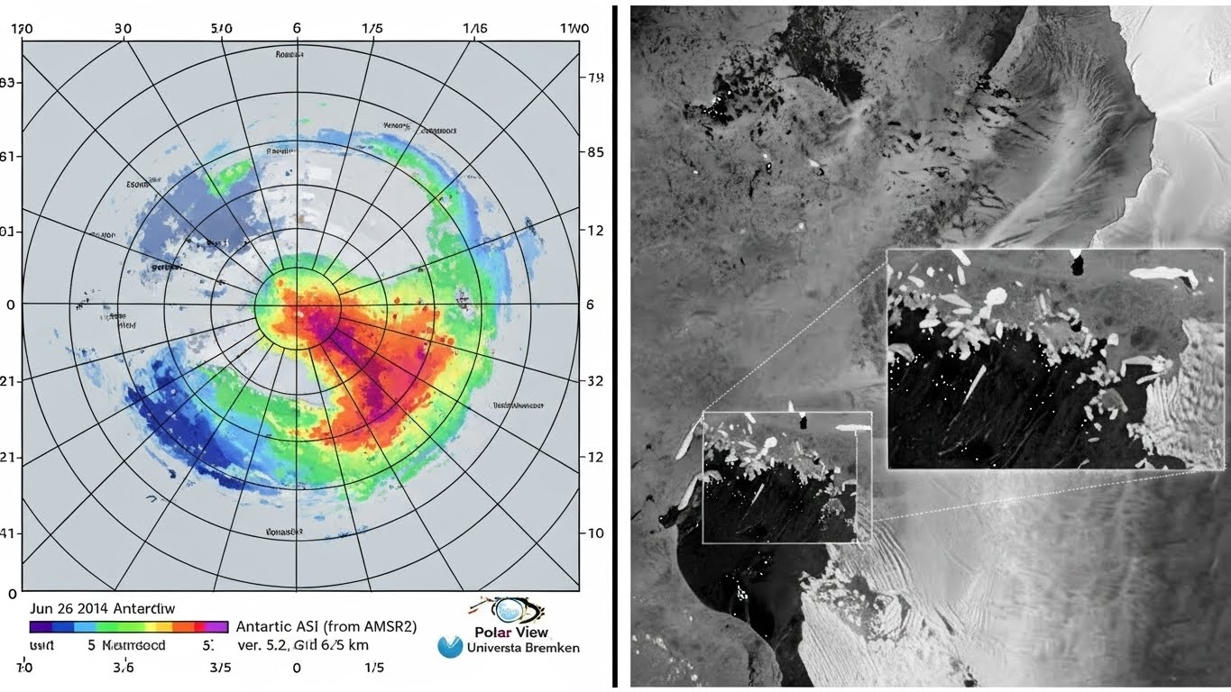
Beyond Static Maps: How Swath-to-Swath Sea-Ice Drift Estimation Saves Ships
Stop relying on static ice maps. Discover how Swath-to-Swath Sea-Ice Drift Estimation uses satellite overlap and algorithms like MCC to predict closing leads and save ships from the ‘Ice Trap’. The Arctic is not what it used to be. Decadal observations show that ice drift speeds have increased by approximately 20%. For a polar navigator,…
Written by
-
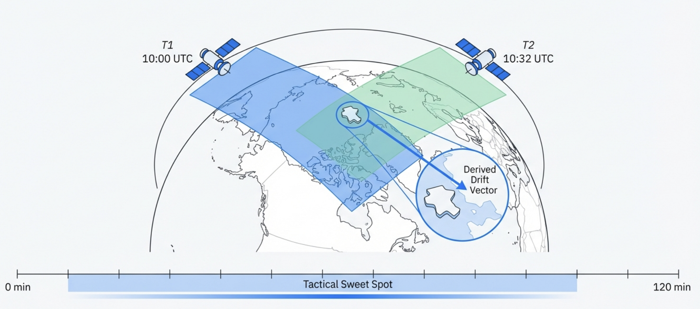
Navigating the Freeze: A Guide to Sea-Ice Concentration Products & Limitations
Is your sea-ice chart lying? We expose the risks of High-Resolution Sea-Ice Concentration Data, the ‘3km Grid’ myth, and the summer melt trap every navigator must know. You are navigating the Barents Sea in late July. Your onboard display, fed by the latest satellite data, reports “0% Ice Concentration” in your sector. You push the…
Written by
-
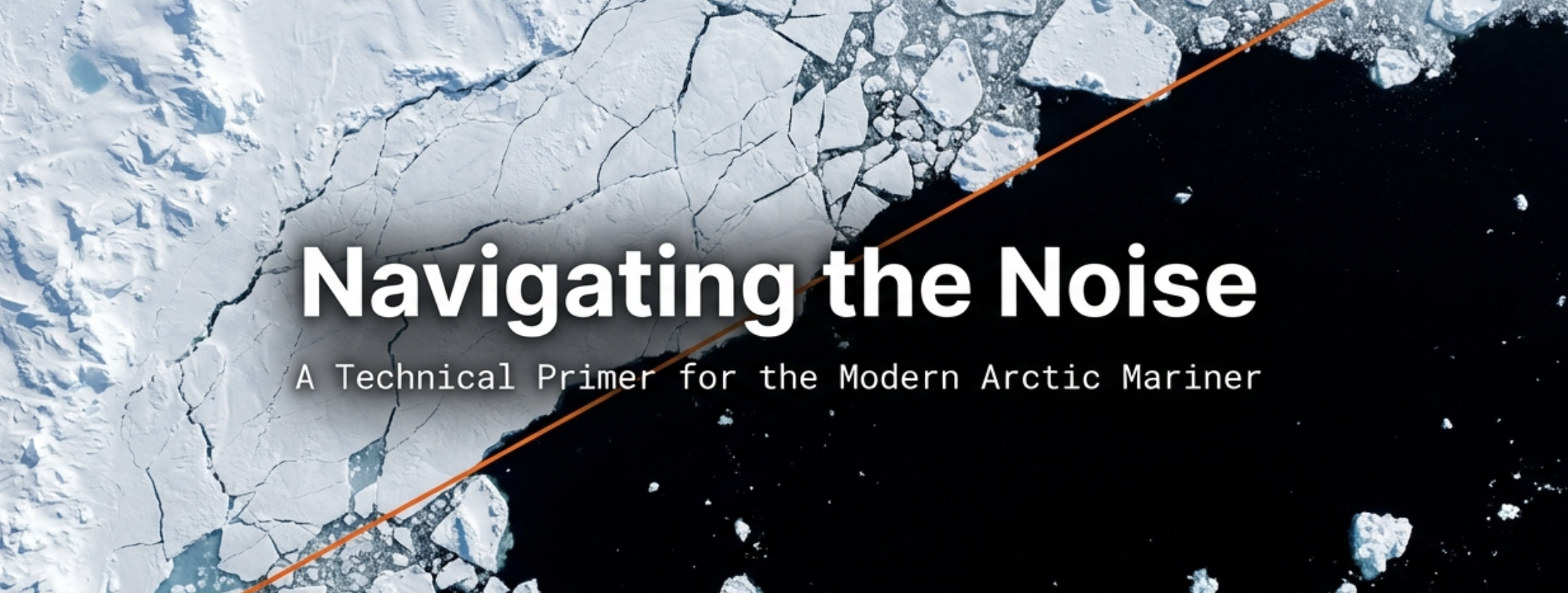
Passive Microwave vs SAR sea ice: The Ultimate Guide to Real-Time Arctic Sea-Ice Mapping
Passive Microwave vs SAR sea ice: Which sensor prevents maritime disasters? We analyze the trade-offs between AMSR2 coverage and Sentinel-1 precision for 2025 real-time mapping. Imagine navigating a liquid natural gas (LNG) tanker through the Northern Sea Route in total darkness. It is polar winter. Optical satellites are useless because there is no sunlight, and…
Written by