Tag: NRT Processing
-
Why Your Sea-Ice Map is Late: The Critical Role of Arctic Satellite Ground Stations
Why are your sea-ice maps delayed? Discover the critical role of Arctic Satellite Ground Stations like SvalSat. Learn how polar infrastructure cuts data latency and prevents maritime disasters. Imagine navigating an icebreaker through the Northern Sea Route. You are relying on a satellite ice chart to identify a safe path through a field of shifting…
Written by

-
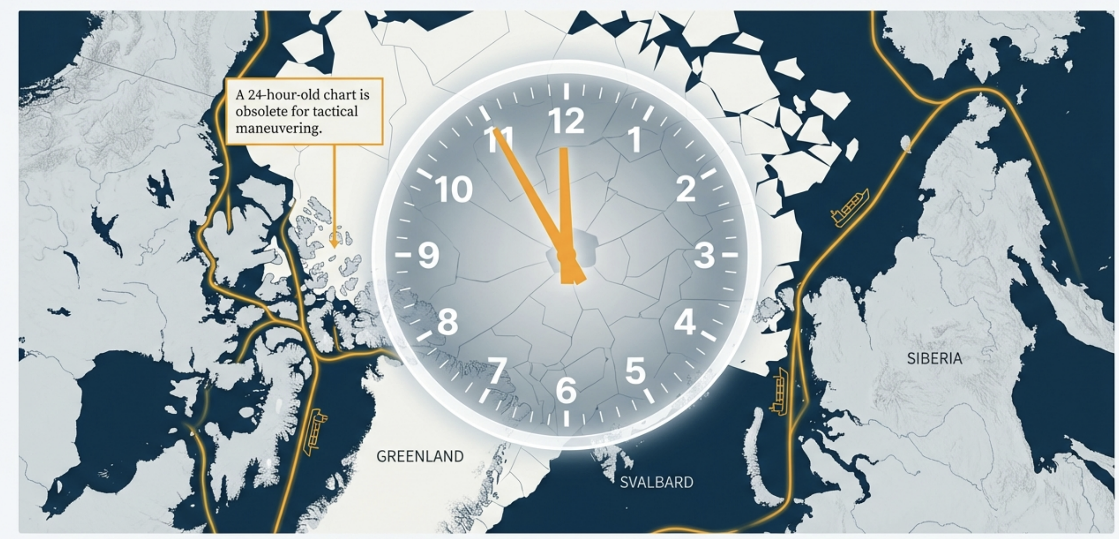
From Orbit to Bridge: The Latency Budget of Near Real-Time Arctic Ice Maps
Is your Arctic ice chart already obsolete? We break down the ‘Latency Budget’ of Near Real-Time (NRT) mapping—from Sentinel-1 orbit files to the 10-minute target of future AI pipelines. In the Arctic, time isn’t just money—it is structural integrity. When a vessel is navigating the Northern Sea Route or the Northwest Passage, an ice chart…
Written by