Category: Satellite
-
Mastering Sentinel-1 SAR Processing: A Step-by-Step Guide for Navigable Sea-Ice Maps (2025)
Master the Sentinel-1 SAR processing chain for accurate sea-ice maps. Learn the essential steps: Calibration, Lee Speckle Filtering, and Terrain Correction to fix raw data errors.” Critique: A bit dry. Refined (High CTR): “Is your SAR data too noisy? Master the Sentinel-1 SAR Processing chain. From Calibration to Lee Filtering—here is how to turn raw…
Written by
-
From Raw Swath to Arctic Map: Building a Satellite Data Processing Pipeline (End-to-End Guide)
Master Geospatial Data Engineering with this guide on building a Satellite Data Processing Pipeline. Learn to convert Raw Swath to Gridded Data for Arctic maps using Python, PyResample, and Cloud-Native Geospatial tools. Processing raw satellite data is often like trying to drink from a firehose. You are dealt terabytes of unprojected, messy “swath” data that…
Written by

-
Unlocking the Frozen North: How Secretive Arctic Satellite Technology Reveals Earth’s Fate
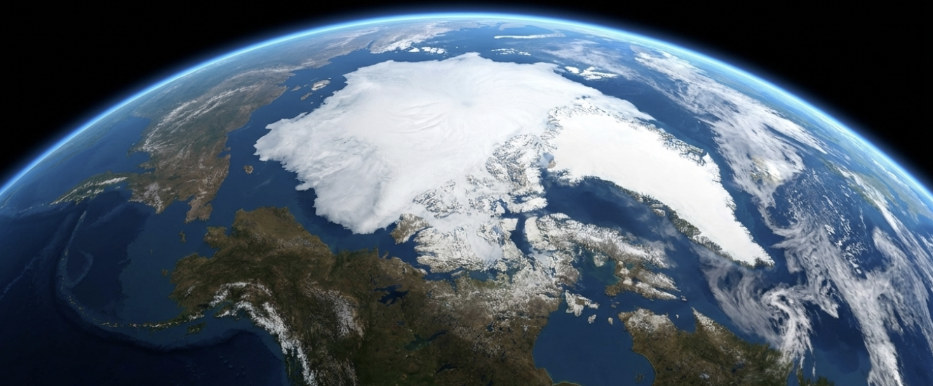
From tracking walrus herds to exposing geopolitical tensions, discover how Arctic satellite technology serves as our planet’s early warning system. Imagine a place so vast, so remote, and so brutally cold that for centuries it was little more than a terrifying blank spot on the map. Now, imagine tiny machines whizzing overhead at 17,000 miles…
Written by
-
Satellite Tech 101: Part 3 – Starlink, Space Junk, and the Kessler Syndrome
We are launching satellites faster than we can track them. In the finale of our series, we explore the rise of Starlink, the terrifying threat of the Kessler Syndrome, and the future of orbital sustainability. Welcome to the finale of our Satellite Tech 101 series. In Part 1, we covered the hardware—understanding that modern satellites…
Written by

-
Satellite Tech 101: Part 2 – Seeing in the Dark with SAR (Sentinel-1 & ICEYE)
Optical cameras can’t see through clouds. In Part 2, we explore Synthetic Aperture Radar (SAR), the LEO technology that allows satellites like Sentinel-1 and ICEYE to image the Earth at night and through storms. In Part 1 of this series, we introduced the “Speed Demons” of the satellite world: Low Earth Orbit (LEO) satellites. We…
Written by